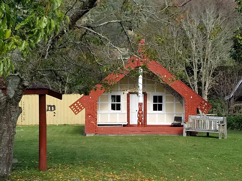
ĀTENE

Ātene is located roughly halfway between Whakaihuwaka and Koritini, on the Whanganui River, 35km from the Whanganui city. Its principal hapū is Ngāti Hineoneone of the iwi Te ti Haunui-a-Pāpārangi.
The marae wharenui is named Te Rangi-i-heke-iho. The marae connects ancestrally to the waka Aotea, the maunga Ruapehu and the awa Whanganui. The hill next to Ātene, Puketapu, was once on a peninsula almost completely surrounded by a meander of the Whanganui River; centuries ago the river broke through the neck of the peninsula, connecting the two bends and cutting off the meander. In the 1960s, a hydroelectric dam was proposed at Ātene, because the meander could have been reinstated while the dam was being constructed. A hydroelectric dam would have flooded the river as far back as Taumarunui, and the project was abandoned. While investigating the possibility of a dam, the Ministry of Works built a road in 1959 along the ridgeline overlooking Puketapu. The road is now an 18 km walking track, the Ātene Skyline Track.
COMMUNITY DOCUMENTS

